RecordAGrave
141,839 recorded and counting!
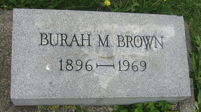
| Name: | Burah M Brown |
|---|---|
| Birth Date: | |
| Death Date: | |
| Show on map: | |
| GPS coordinates: | 39.09193420,-87.42191315 |
| Cemetery: | Center Ridge Cemetery |
| Section: | Section 10 |
| Photos by: | John L Wheeler |
| Photos uploaded: | Aug 07, 2010 |
Burah M Brown
Database and photos licensed under a Creative Commons Attribution 4.0 International License.
For more information or removals contact janderse@gmail.com.
For terms and conditions see termsandconditions.html.


